Skip to content

Pipeline and pad photos, where each was taken

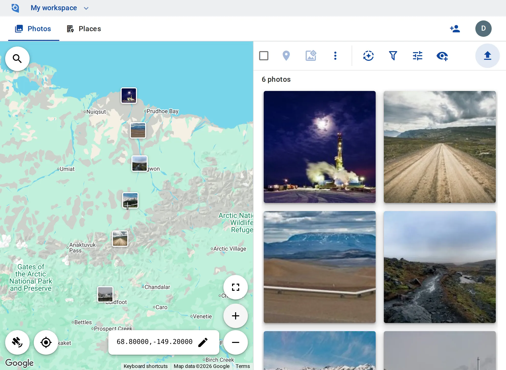
Right-of-way patrols, well pads, valve sites and river crossings: crews photograph along hundreds of miles, often far from coverage, and the office sees every photo on the map once it is uploaded.
See pricing
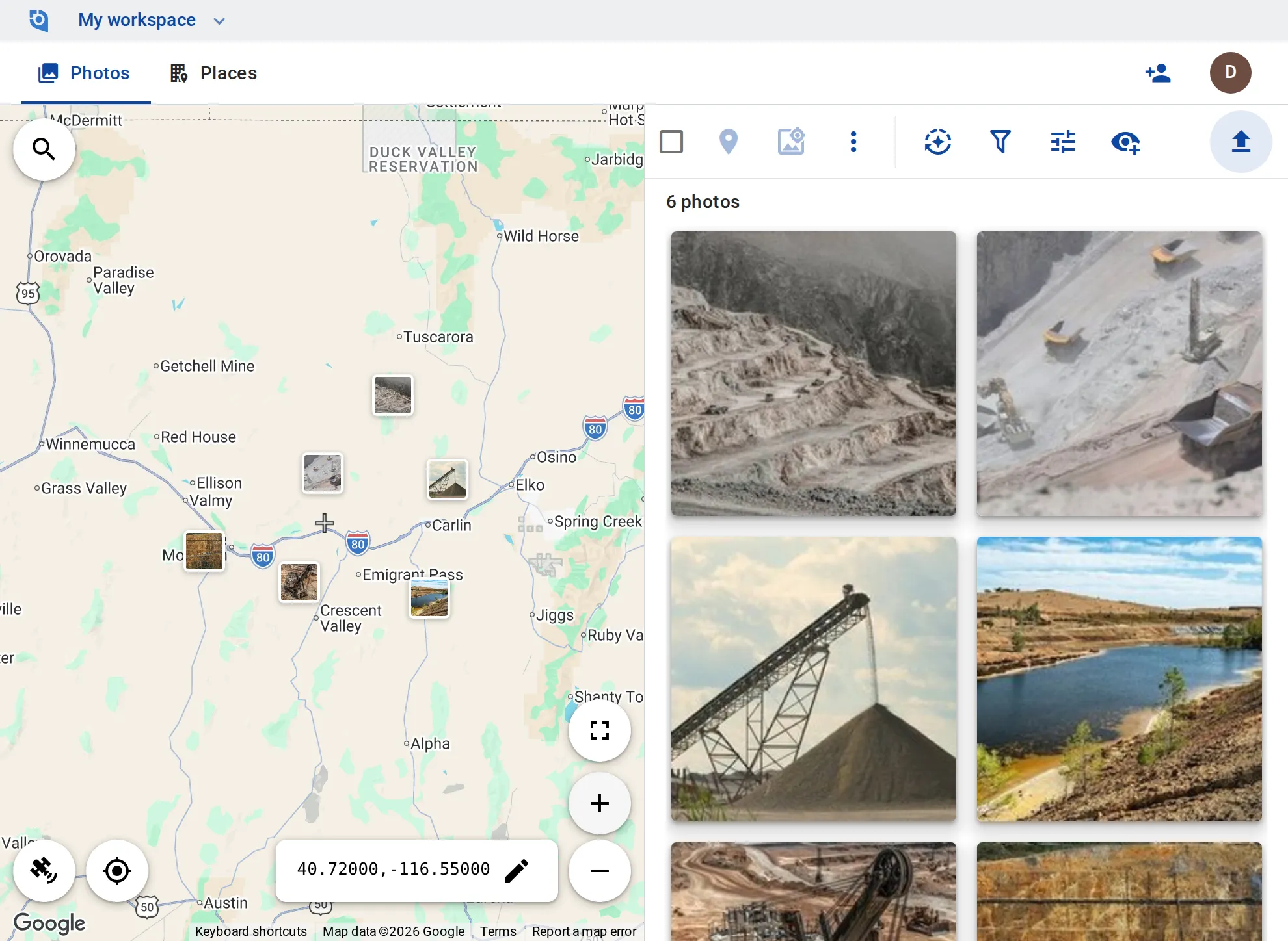
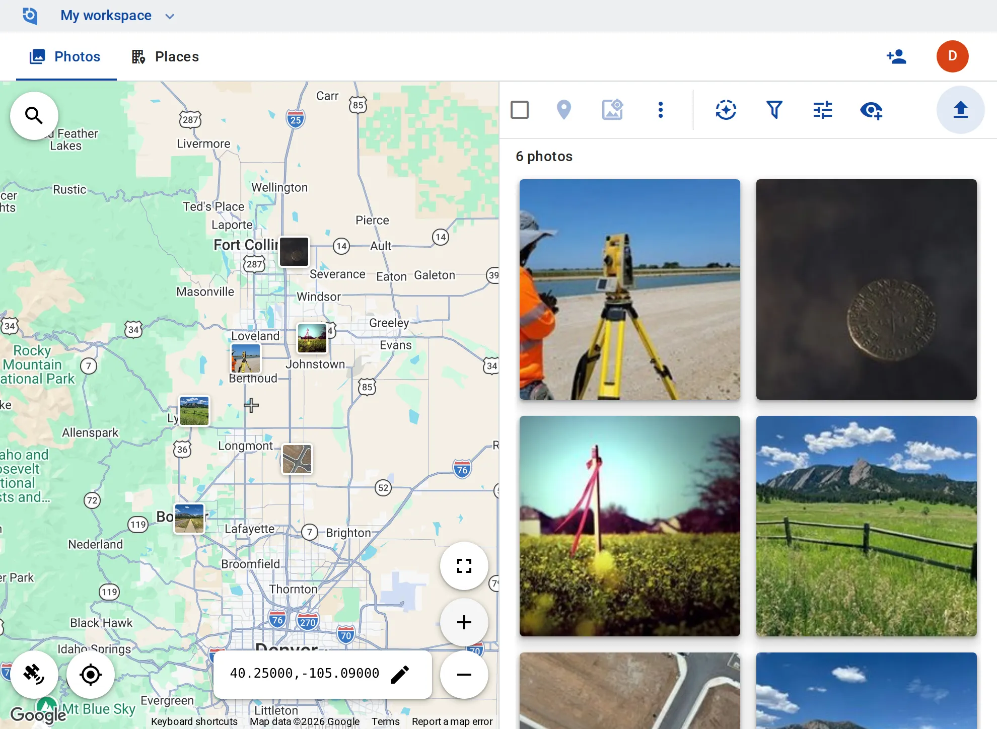
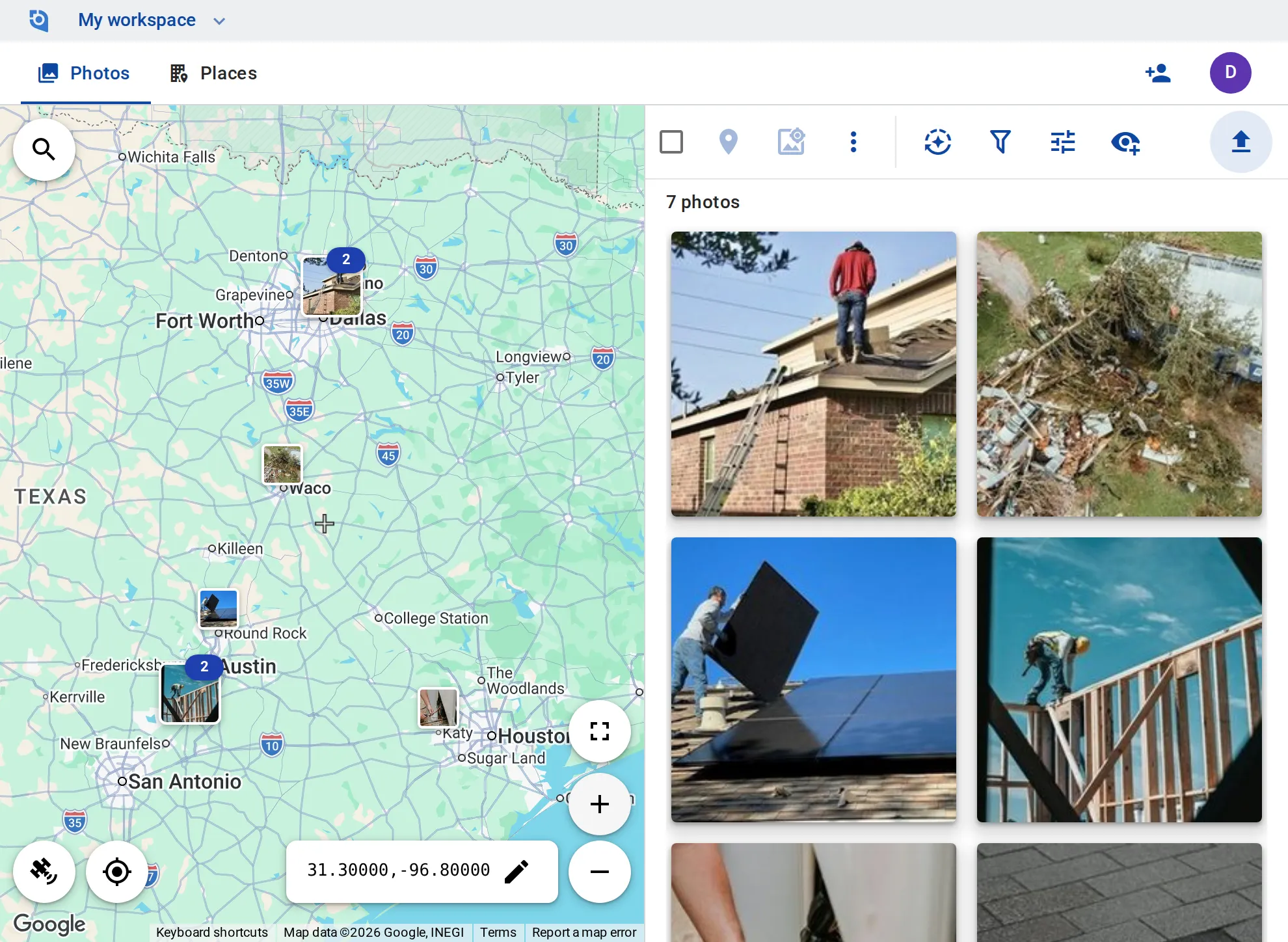
GeoTag.com showing well pads on the Alaska North Slope and sites along the pipeline corridor on a map, with photos of pipeline, pads and equipment

Why pipeline photos matter

A finding has to be found again

Exposed pipe, a washout on the right-of-way or a weeping flange has to be found again by the repair crew. A photo without a position sends them searching.

Records tied to the asset

Inspection records often include photos, and they are only useful tied to the asset and the date, and still findable at the next audit.

Far from coverage

Pads and corridors run far from cell coverage, so photos wait on phones and reach the office without the context of where they were taken.

Photograph now, upload later

GeoTag needs a connection to upload; the phone camera doesn’t. Photos keep their GPS and capture time, so when you upload back in coverage — from the iPhone or Android app — each lands where it was taken.

A place per pad, valve or crossing

Each well pad, valve site, river crossing or milepost is a place on the map, with tags such as “Right-of-way”, “Corrosion” or “Repair”.

Coordinates and time on the image

Stamp coordinates, date and time, and a note such as the milepost, onto photos and videos.

Find the open findings

Filter by tag or by how recently photos were added, show only what is in view along the corridor, and sort by distance from any point you center the map on.

The corridor in Google Earth

Export your places as a KMZ file and open the whole corridor in Google Earth or a GIS tool that reads KMZ.

Hand over in batch

Download processed photos as ZIPs of up to 1,000 files or 4 GB, with GPS and date written into each copy — unlimited on Business.

Put your corridor on the map

Contributor and editor roles and unlimited EXIF writing come with the Business plan: $100 per user a year, from 3 users, with a 14-day free trial.

See pricing

Request an invite

GeoTag is invitation only while we onboard a small group of people before launch. Write to us and we'll get back to you about an invite.

It helps to tell us:

  • what you'd use GeoTag for,
  • roughly how many photos or locations,
  • whether you'll use iPhone, Android or the browser.
hello@geotag.com

Email us