Every trip photo, on the map where you took it
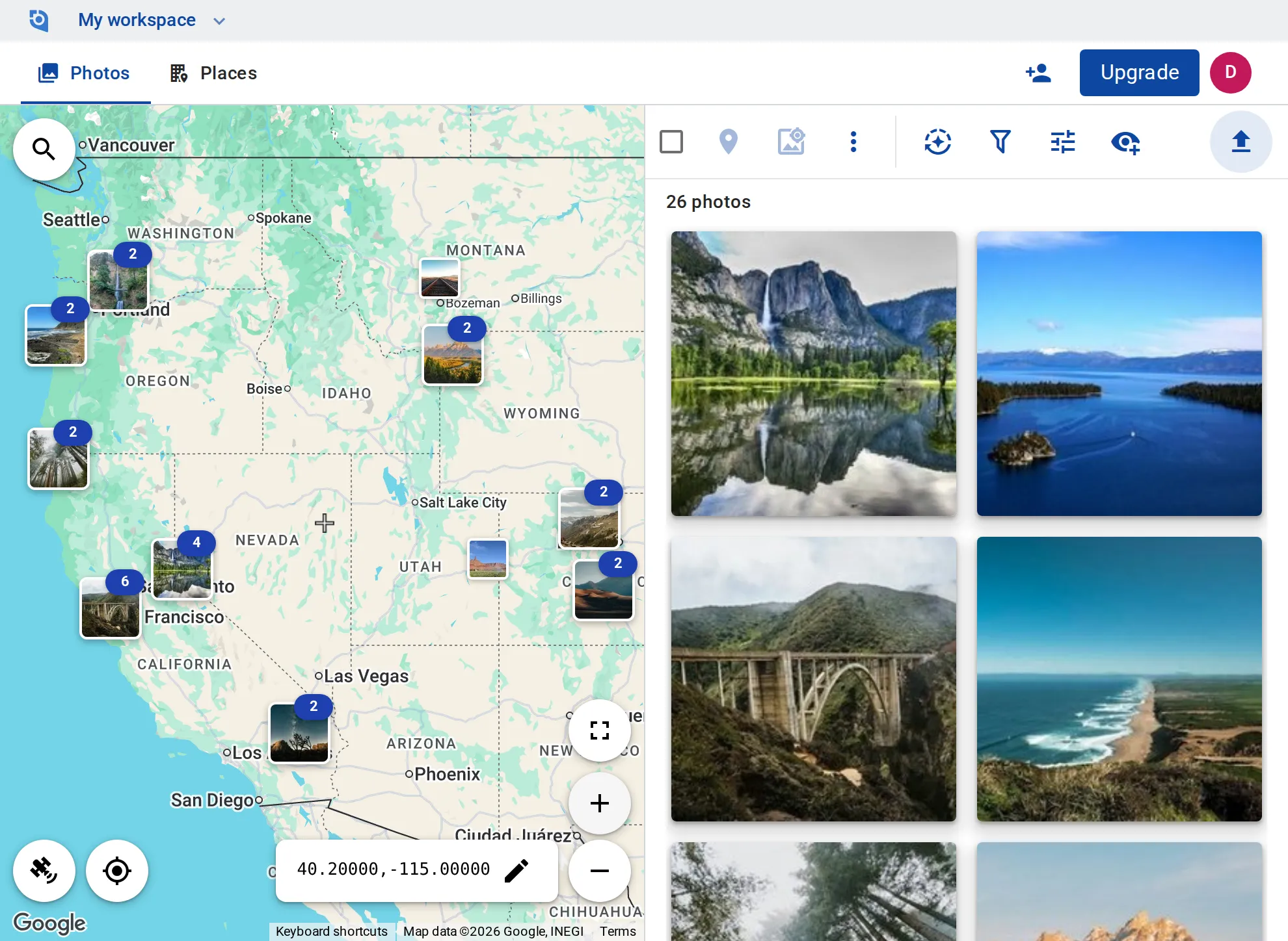
Upload from your phone or computer, and each photo lands where it was taken: easy to find again, stamp, share or take to Google Earth.
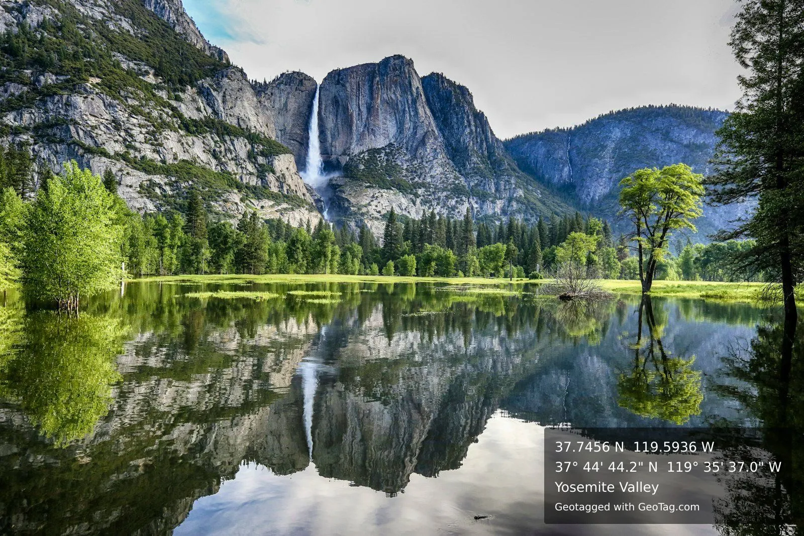
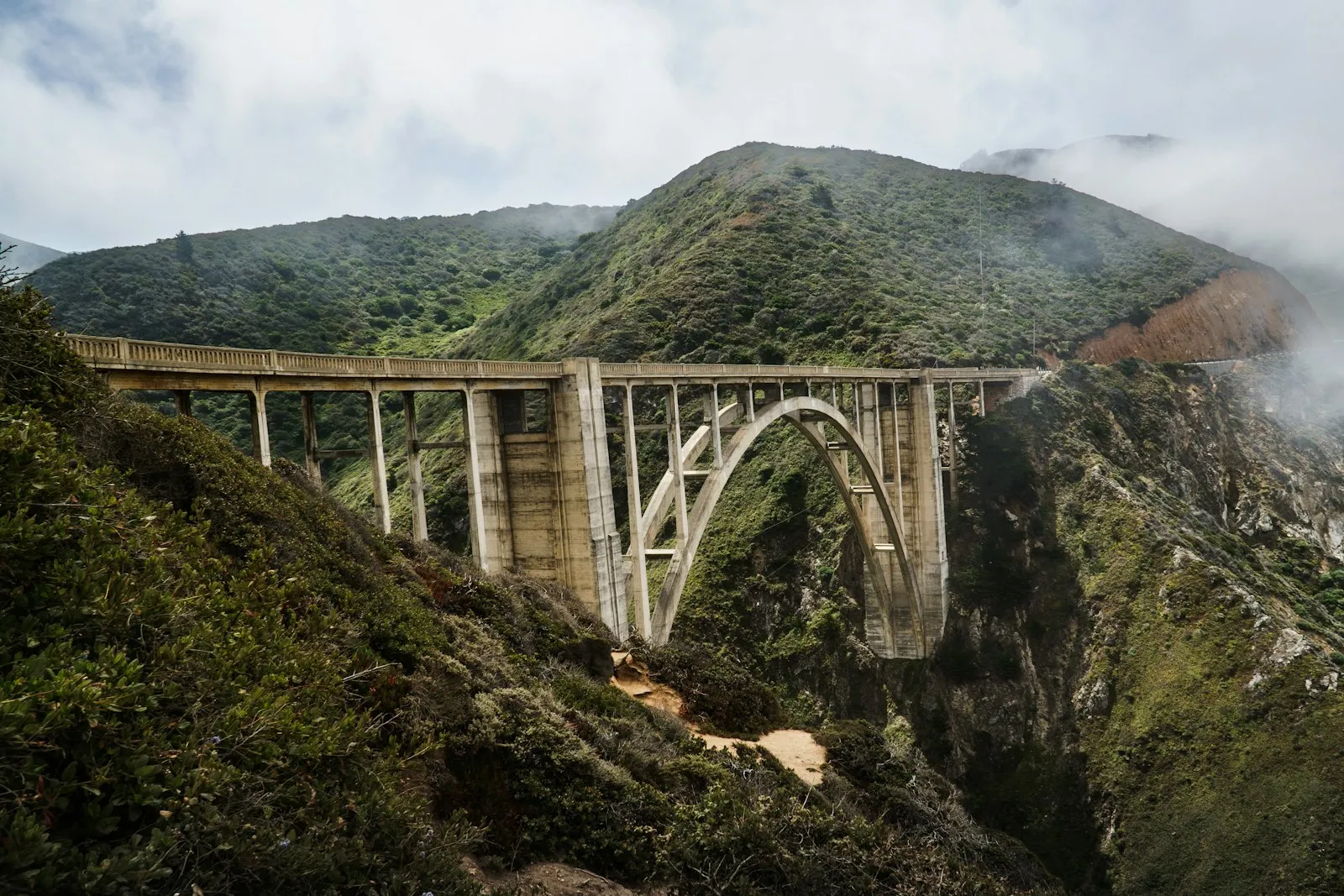
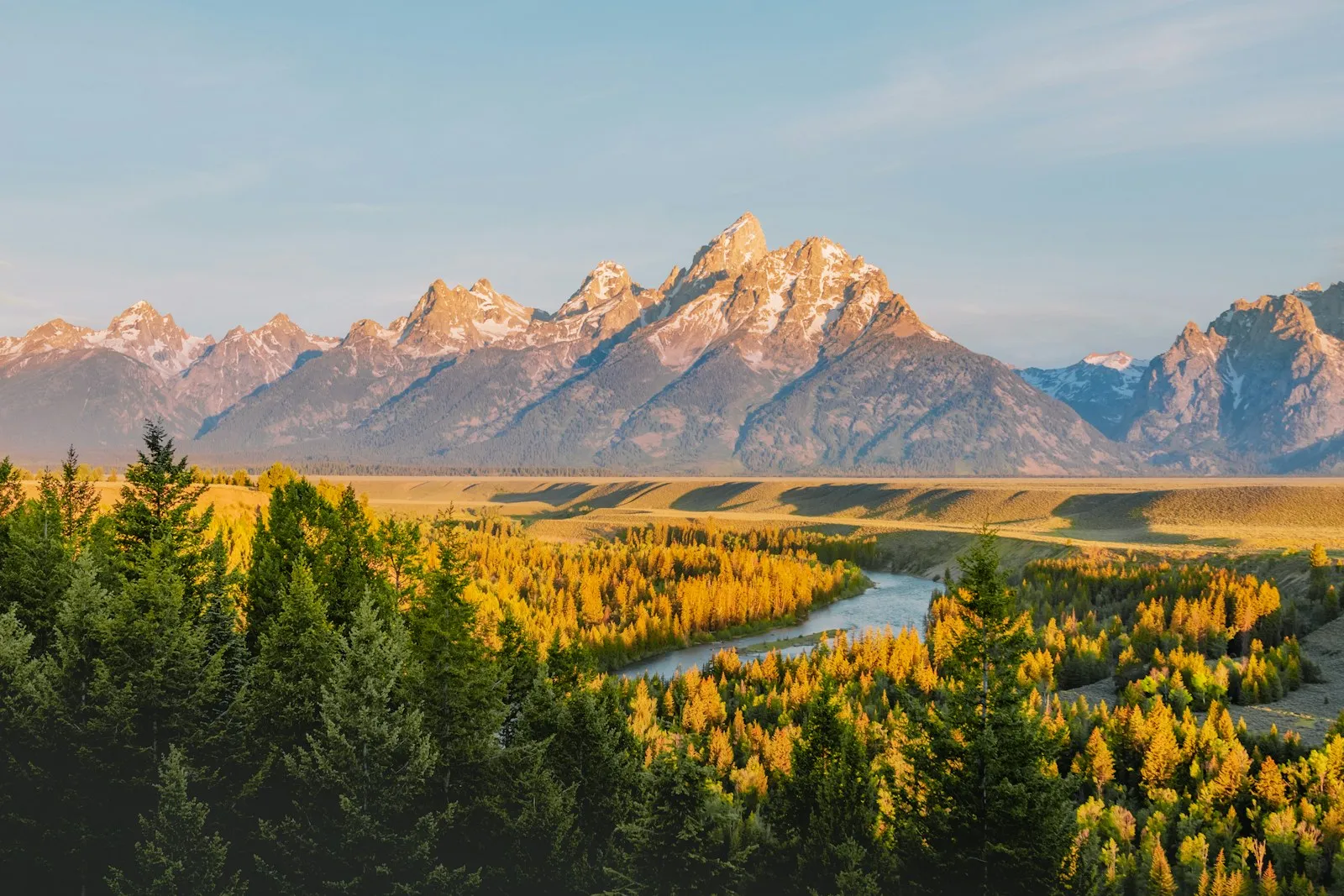
What it looks like in GeoTag
A sample workspace, with every photo on the map where it was taken.
Where trip photos usually end up
Thousands of photos, no map
The camera roll sorts a trip by date, so finding the photos from one town means scrolling and guessing.
Locations lost on the way
Copying, editing or messaging a photo can strip its GPS, and putting it back takes a desktop tool like ExifTool.
A travel map kept by hand
The places you visited live in a spreadsheet or a list of pins, apart from the photos you took there.
Put your next trip on the map
Personal Basic is $24 a year with 10 GB of storage; Personal Plus is $8 a month with 100 GB. Both start with a 14-day free trial.