Photo management by location
Your geotagged photos, on the map where they were taken
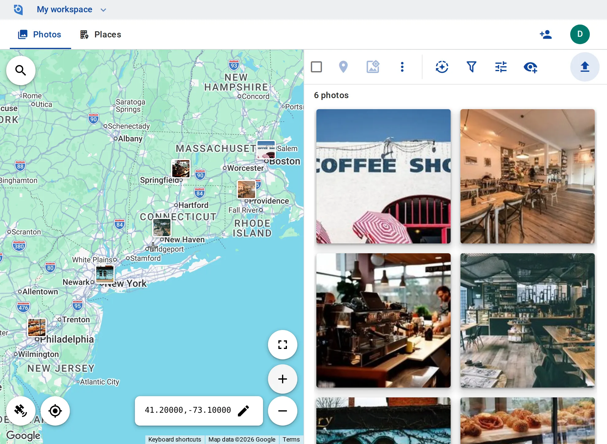
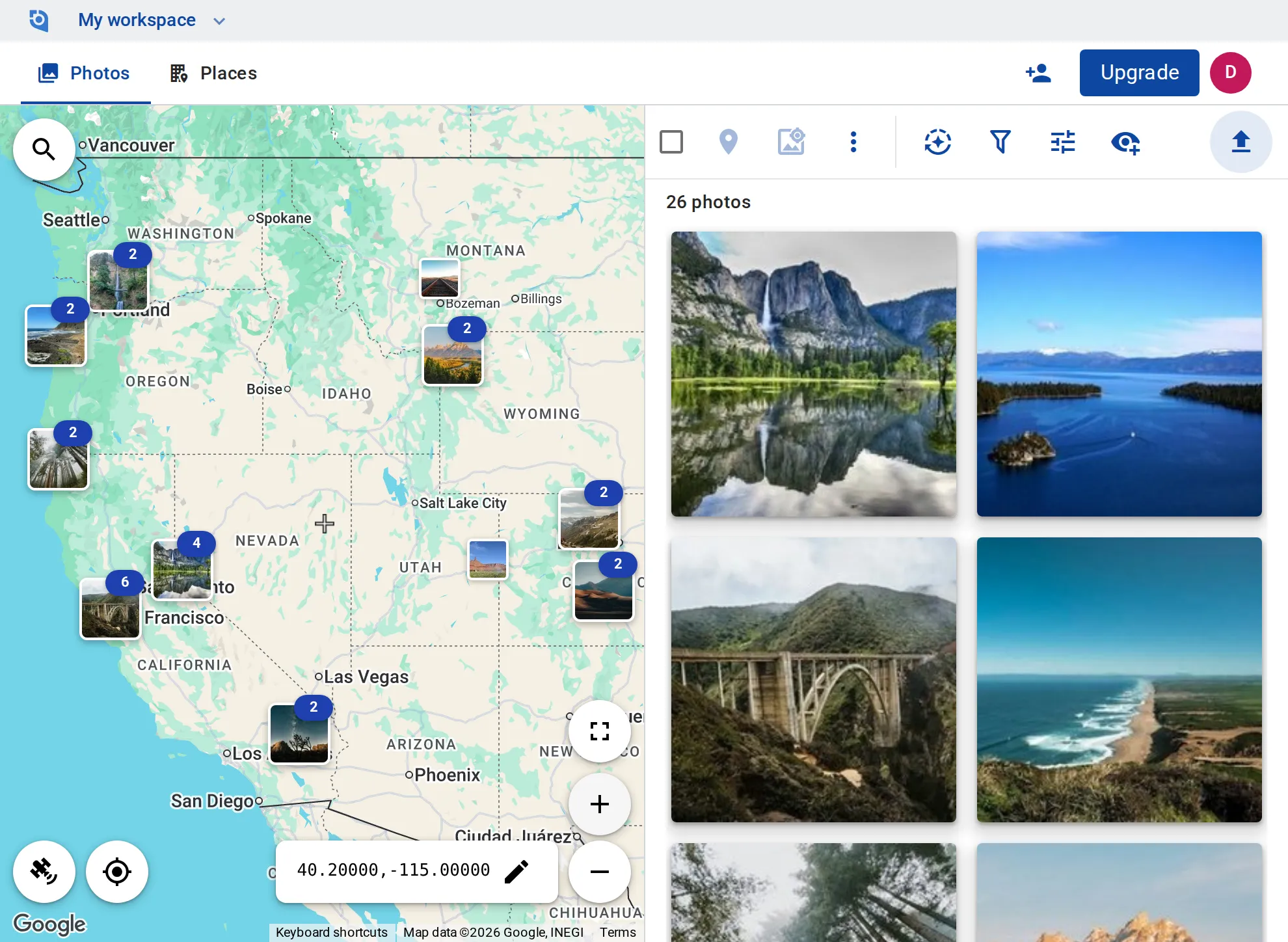
Upload from your phone or browser, and each photo lands on the map from its GPS. Fix locations, stamp and convert in batch, and on Business, post straight to Google Business Profile.
GeoTag is invitation only before launch.
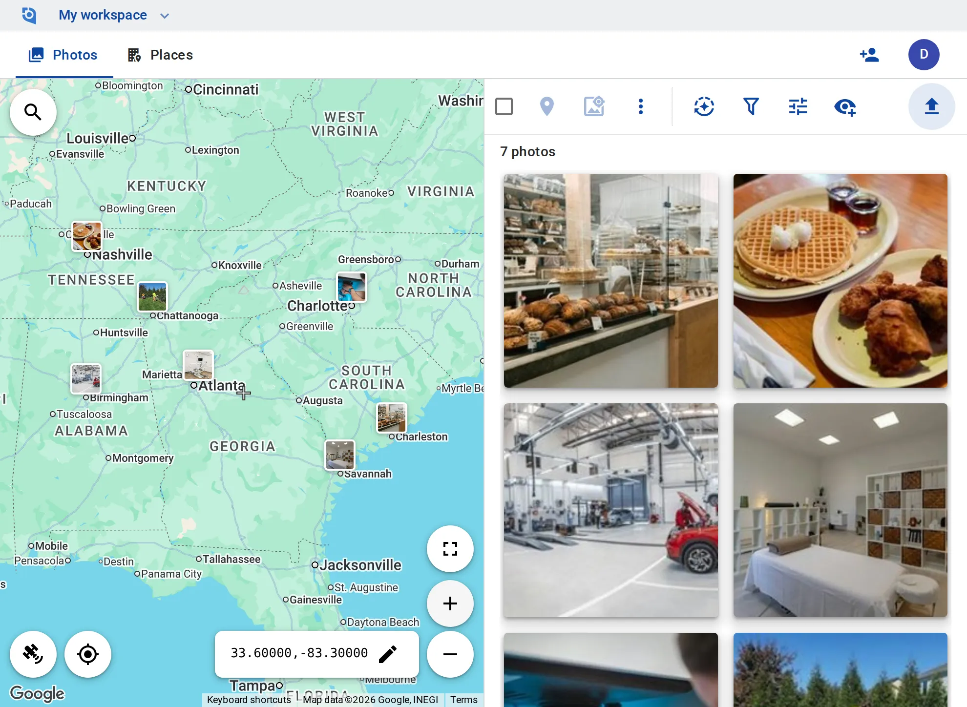
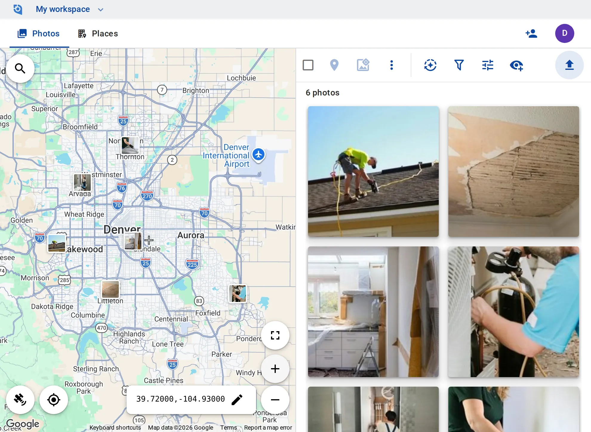
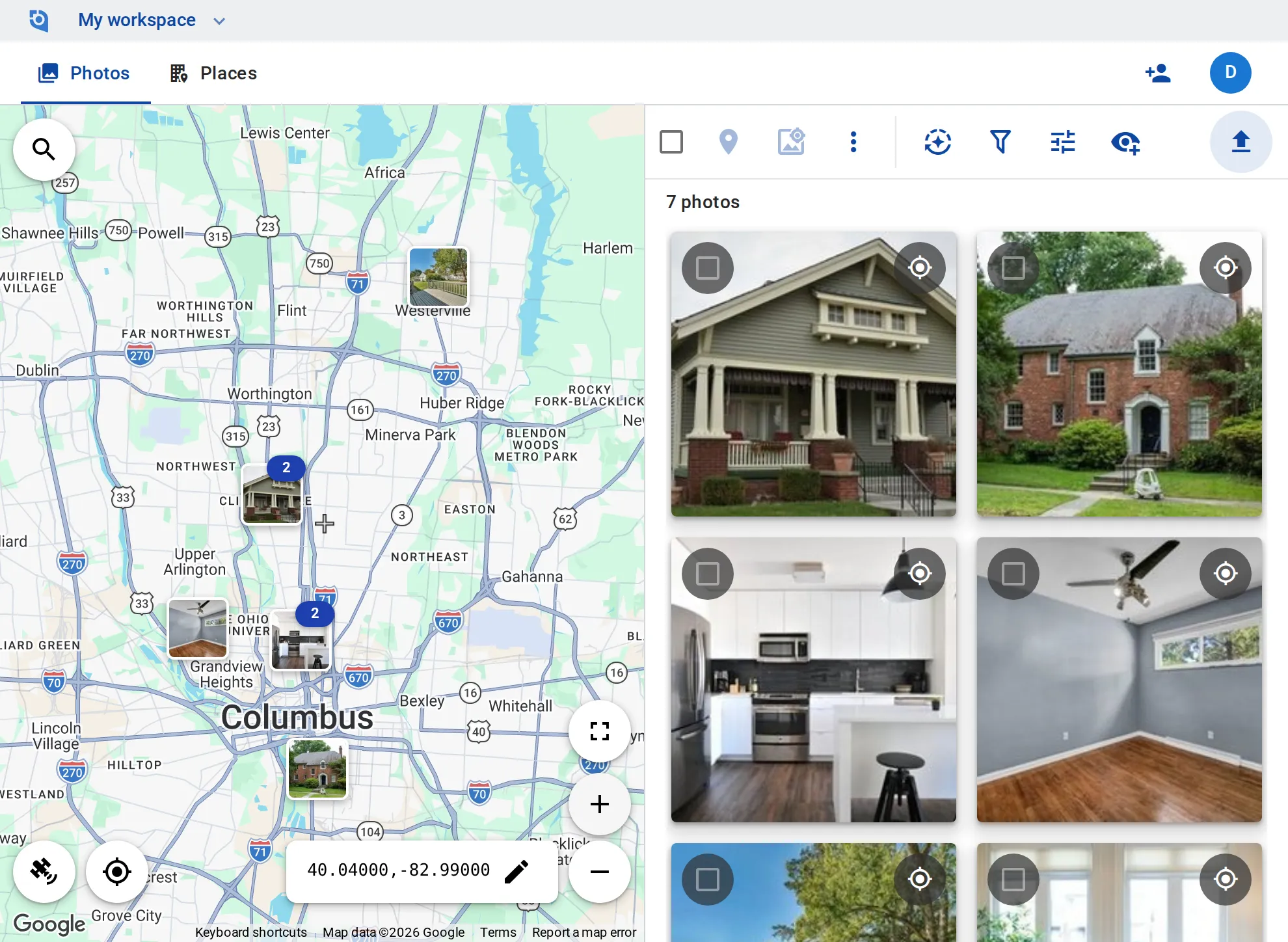
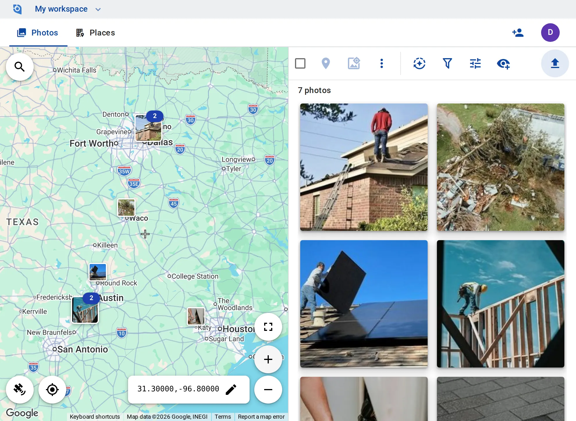
GeoTag at a glance
- Photos
- JPEG, PNG, GIF, HEIC and WebP
- Up to 250 MB each
- Videos
- MP4, MOV, M4V and WebM
- Up to 3 GB each; length depends on the plan
- Sizes
- 10 sizes of every photo
- From 25 px thumbnails to 2560 px
- Downloads
- 1,000 files per ZIP
- Up to 4 GB at once, on every plan
- Apps
- Web, iPhone and Android
- Plus an API and MCP endpoint on every plan
- Export
- Google Earth (KMZ)
- Every place and its photos, on every plan
How GeoTag works
Five steps from upload to publish.
-
Step 1
Upload photos and videos
Everything you shoot lands in one library. Upload from the iPhone and Android apps or the browser: JPEG, PNG, GIF, HEIC and WebP photos, and MP4, MOV, M4V and WebM videos. A photo you already have is skipped.
-
Step 2
Put every photo on the map
Each photo appears on the map where it was taken: GeoTag reads its GPS, capture time and camera. No GPS? Move the map to the spot and geotag the photo to its center; drag a marker to correct one that is off.
-
Step 3
Organize on the map
Find any photo by where it was taken. Group photos into places, add tags and descriptions, and filter by tag, by how recently it was added, by whether you or a colleague added it, or by what is in view on the map.
-
Step 4
Stamp, convert and write EXIF
Get files that carry their location. Stamp coordinates, date and your own text onto photos and videos, resize and convert them, and write GPS and keywords into the copies you download.
-
Step 5
Share, export and post
Hand photos over the way people need them: up to 1,000 files as one ZIP, a link to a single photo, your places for Google Earth, or a post to Google Business Profile on Business.
Built for anyone who works with locations
Teams that document places, and travelers keeping their trips on a map.
Photo stamping
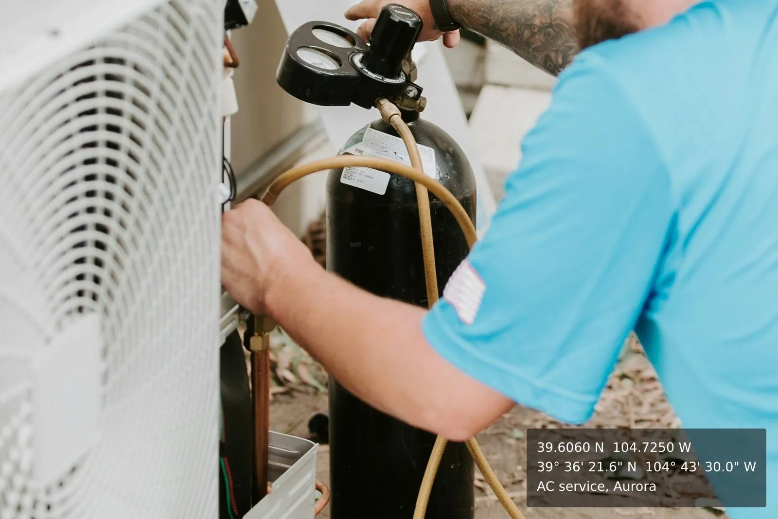
Put the location on the photo itself
Stamp GPS coordinates, date and time, and your own text onto photos and videos — one at a time or a whole selection. On video the stamp stays for the whole clip. On Business the stamp can leave off the GeoTag branding.
Batch processing
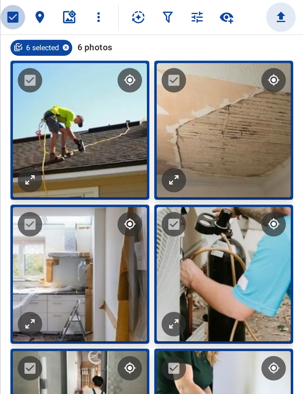
Work on a whole selection at once
Select photos and geotag, tag, download or delete them together, or stamp, resize and convert them all with the same settings, on every plan. Writing EXIF into the processed copies is unlimited on Business and 5 photos a day on Free and Personal.
Team roles
Bring your whole team on board
Viewers see and download for free, on every plan. On Business, contributors add and edit their own photos and places, and editors add and edit everything. Then filter by who added or changed something: you or your colleagues.
Works where you do
The same library in the browser, on your phone and in the tools you already use.
Ready to put your photos on the map?
GeoTag is invitation only before launch. Paid plans add storage and longer videos; Business adds team roles and unlimited EXIF writing.