Skip to content

Every field photo, on the map where it was taken

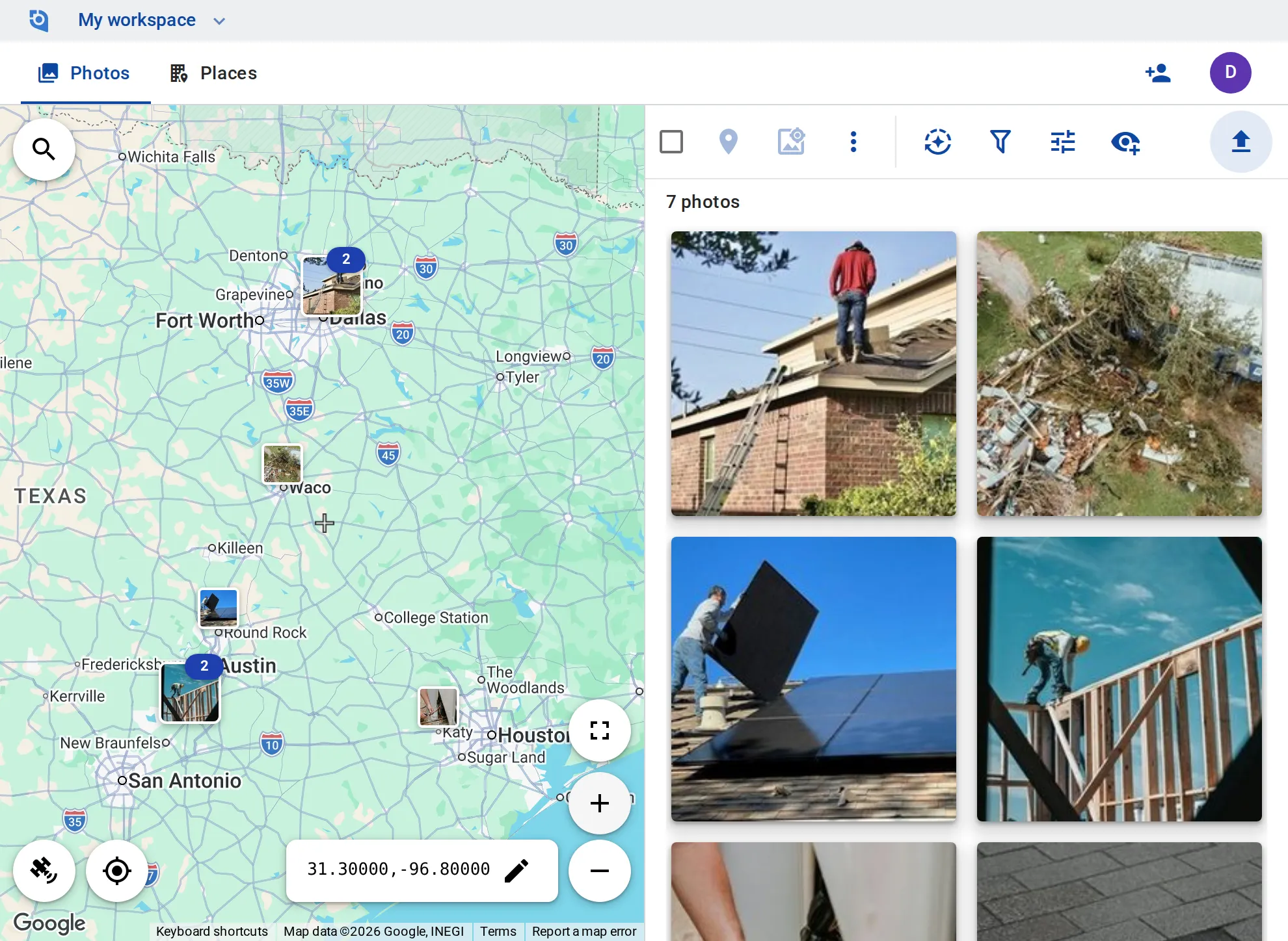
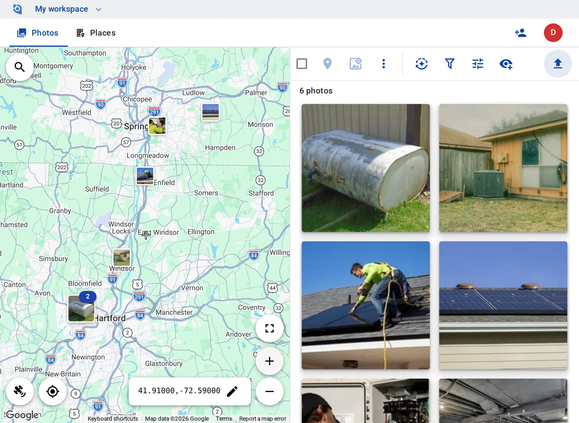
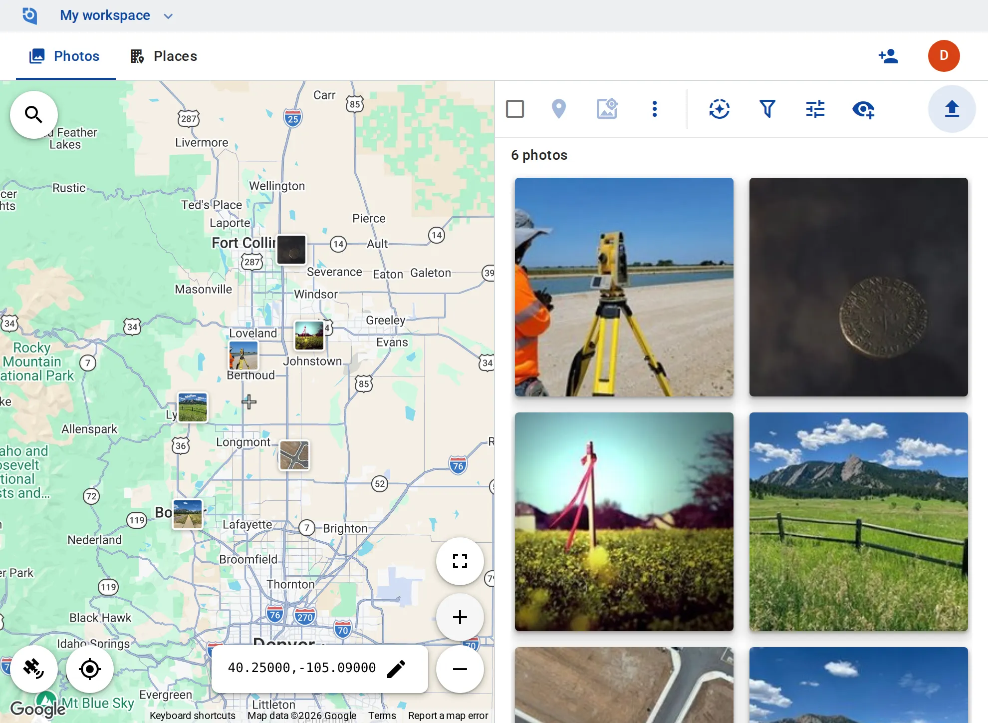
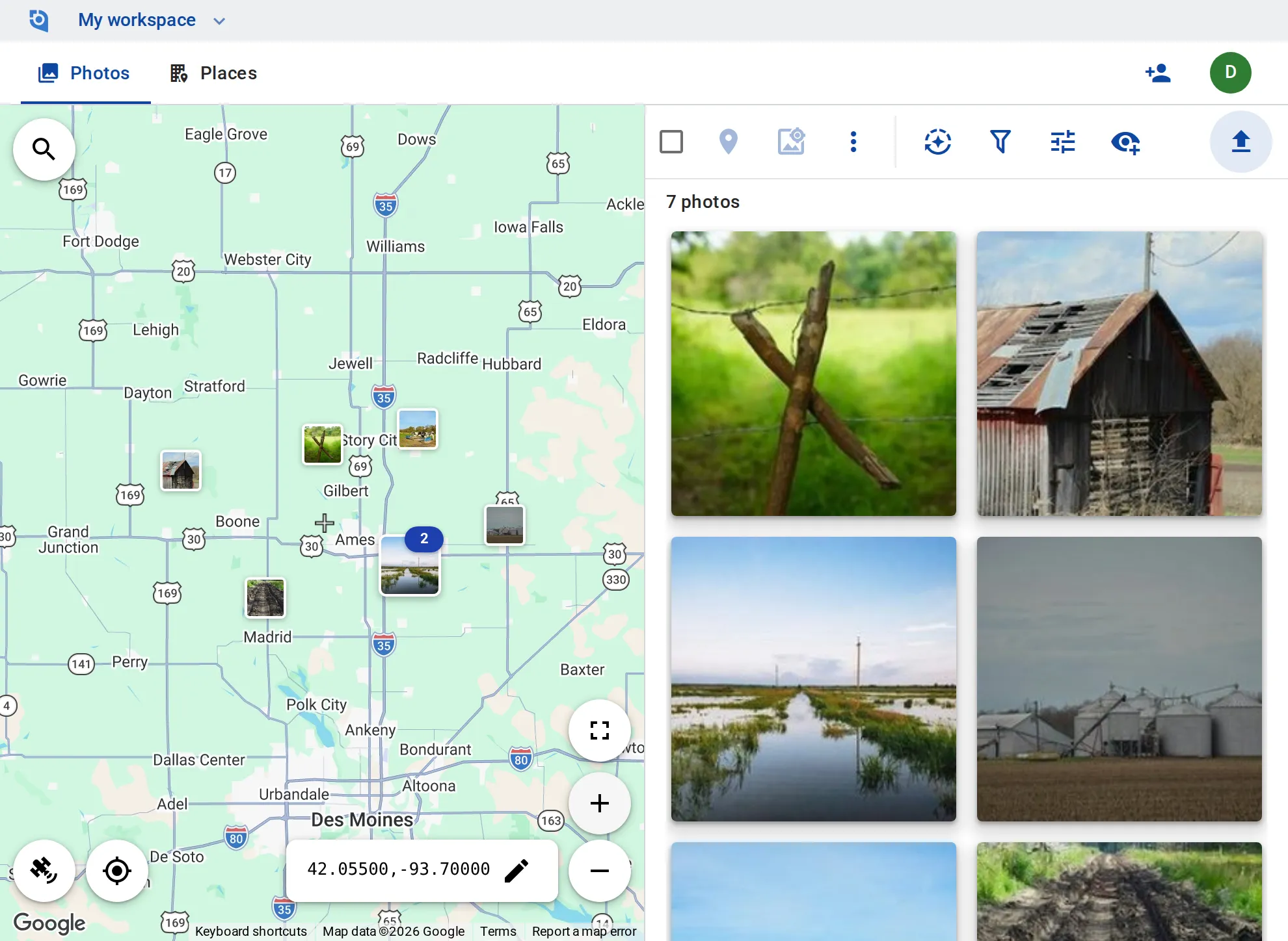
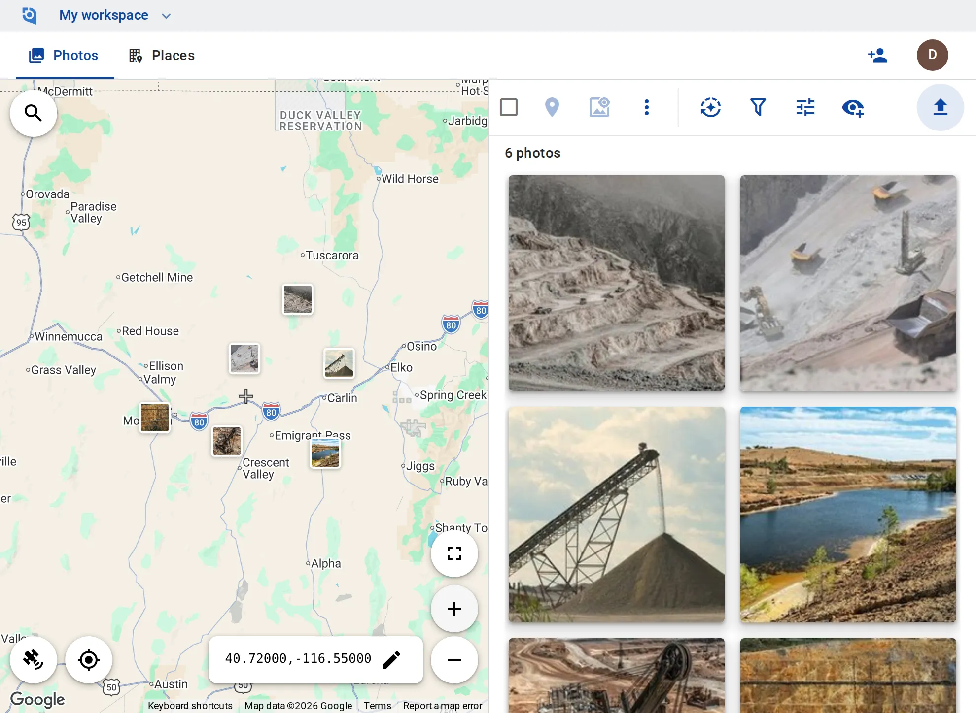
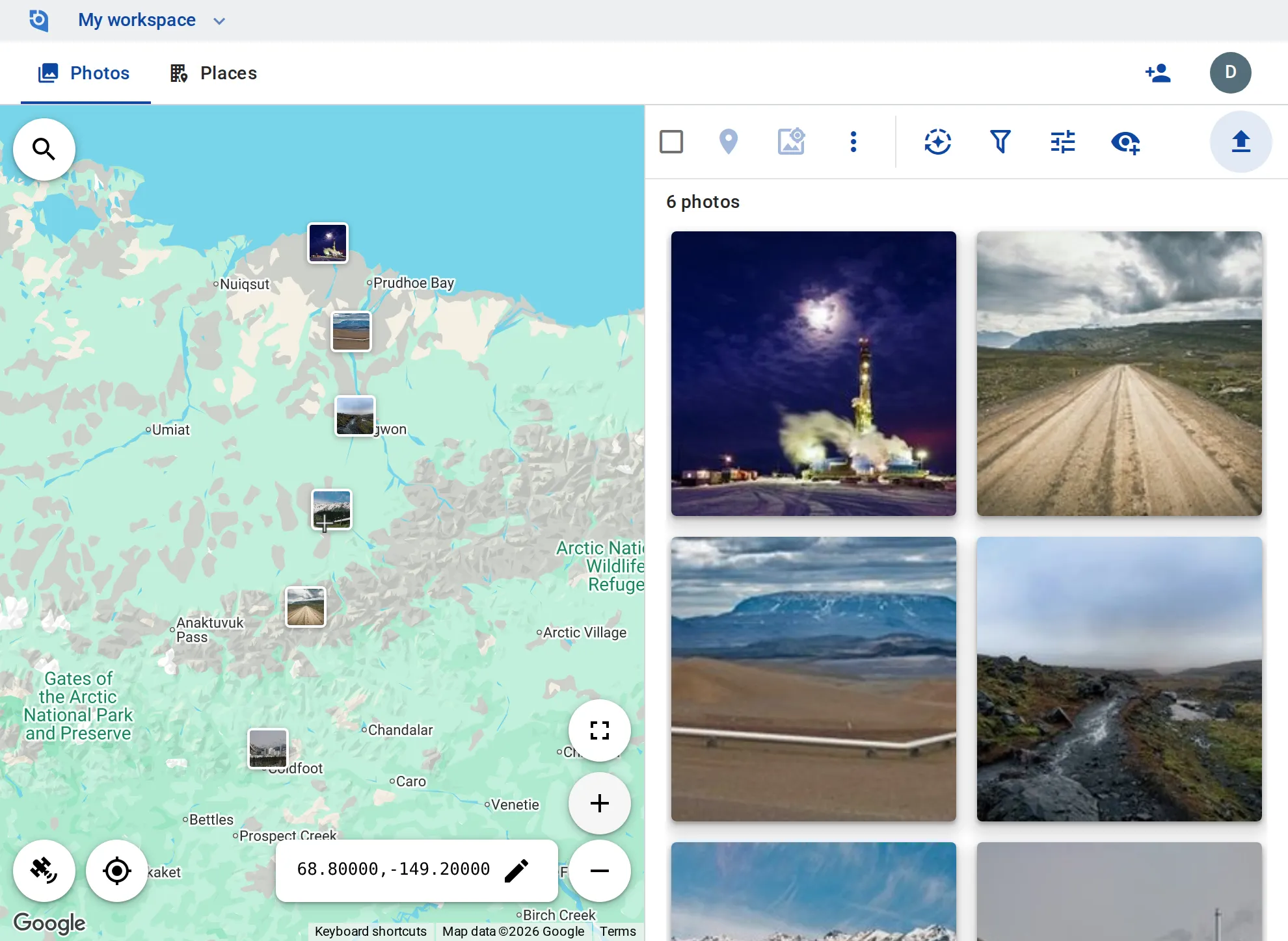
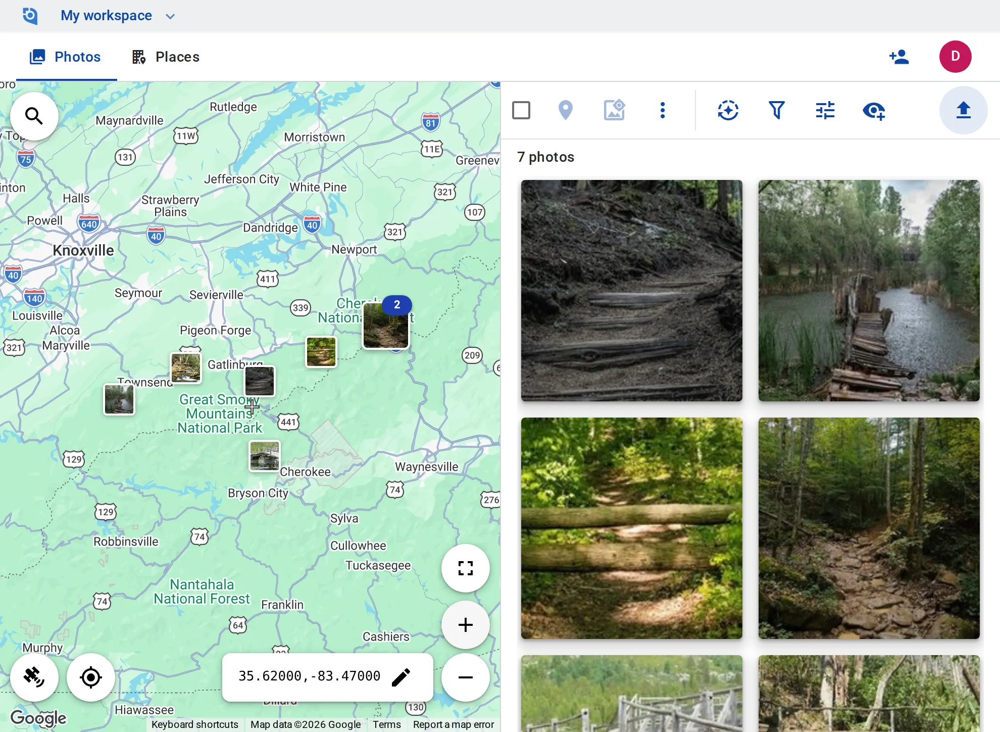
Roofs and building sites, heat pumps and solar installs, survey points, fences and fields, mine roads, pipelines and trails: the crew uploads, the office finds each photo on the map, and every photo can show where and when it was taken, right on the image.
See pricing
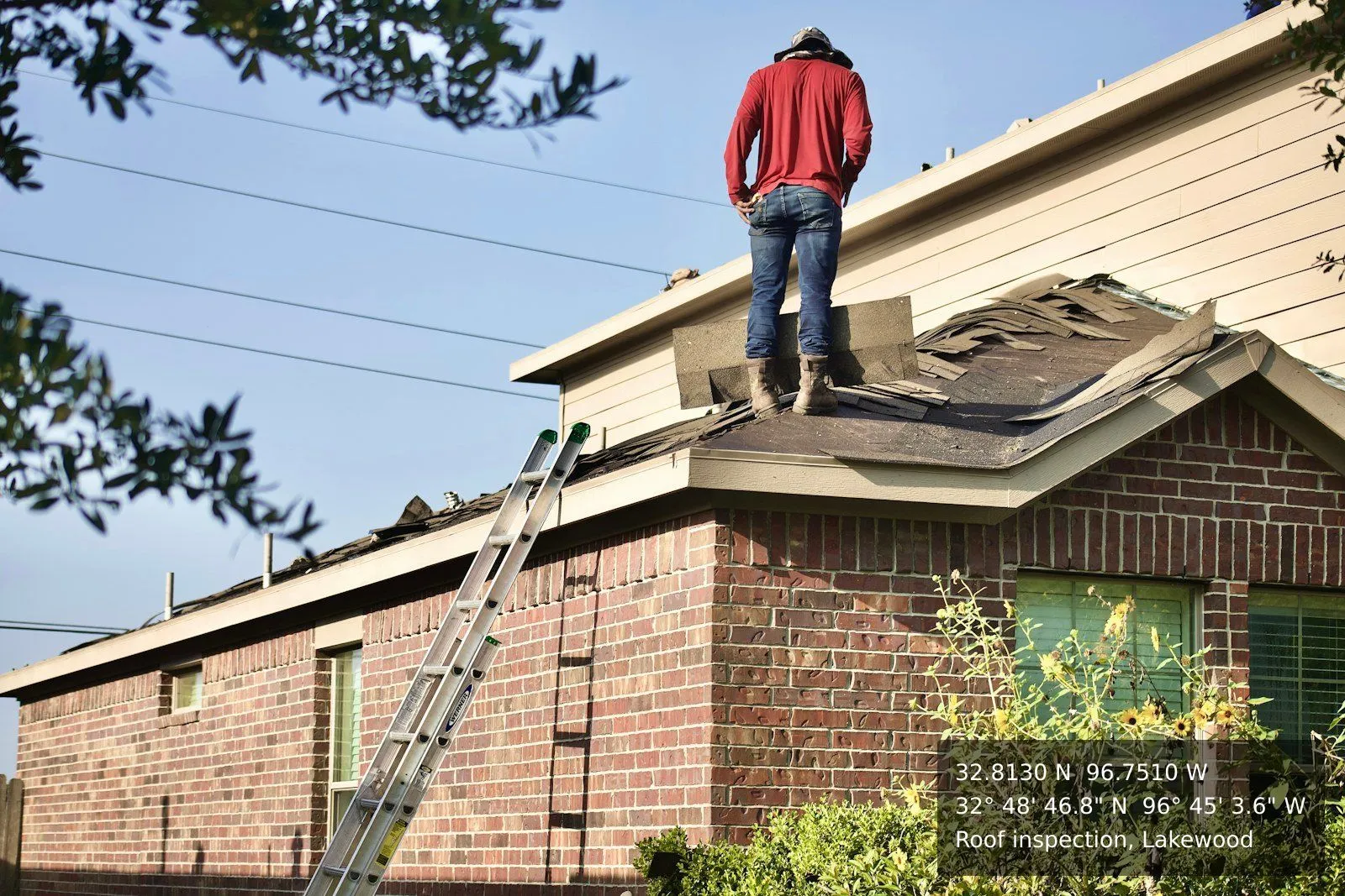
A roofer standing on a damaged shingle roof, with the place name and its GPS coordinates stamped on the photo by GeoTag
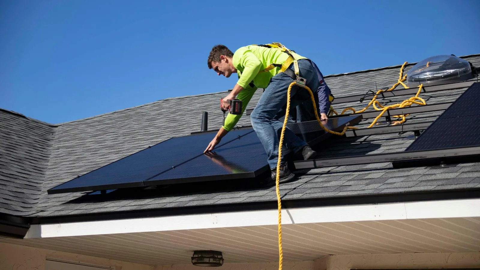
An installer fixing solar panels to a roof
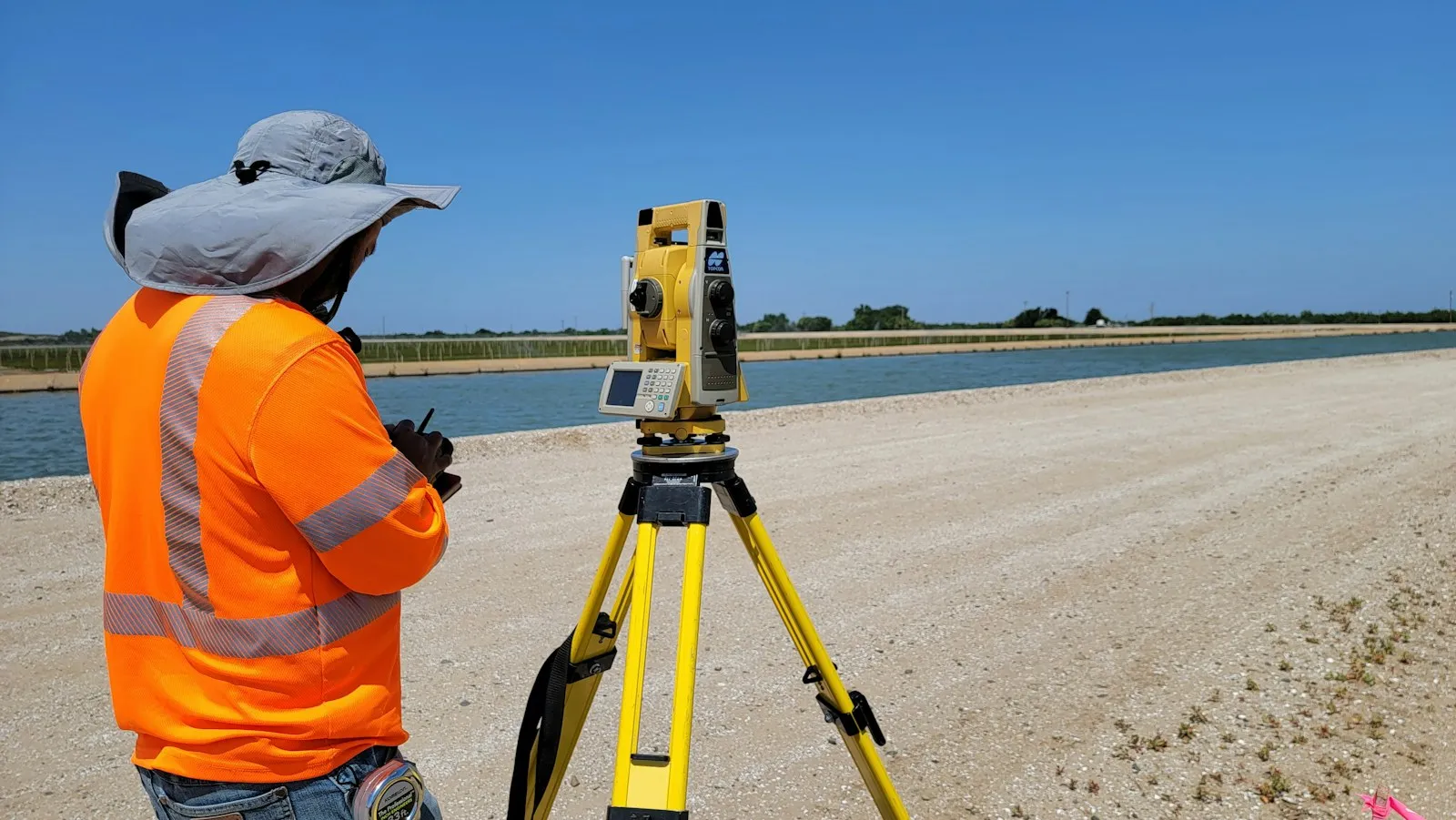
A surveyor at a total station on a gravel road

How field photos usually travel

Photos with no site attached

Crews send photos by message or shared drive, and someone in the office works out which site, field or milepost each one shows.

Missing or wrong GPS

Some photos arrive with no location at all, and fixing the files takes a desktop tool like ExifTool.

A spreadsheet to find anything

Sites live in a spreadsheet and photos in folders, so finding last season’s photos of one site takes two searches.

Upload from the field

Crews upload from the iPhone and Android apps or the browser. GPS and capture time come from the photo, so a photo taken out of coverage and uploaded later from the iPhone or Android app still lands where it was taken.

One place per site

Group the photos of each site, field, pad or trail into a place on the map, with a description and tags such as “Roof” or “Follow-up”.

Find any site in seconds

Filter by tag, by how recently a photo was added or changed, by whether you or a colleague added it, or by what is in view on the map, and sort by date taken or distance.

Where and when, on the photo

Stamp coordinates, date and time, and your own text onto photos and videos, and write GPS and date into the copies you download.

Hand over in one go

Process photos in batch and download them as ZIPs of up to 1,000 files or 4 GB, share a single photo by link, or export your places to Google Earth.

Roles for crew and office

On Business, contributors add and edit their own photos and editors add and edit everything; viewers — free on every plan — view and download.

Put your next site visit on the map

Contributor and editor roles and unlimited EXIF writing come with the Business plan: $100 per user a year, from 3 users, with a 14-day free trial.

See pricing

Request an invite

GeoTag is invitation only while we onboard a small group of people before launch. Write to us and we'll get back to you about an invite.

It helps to tell us:

  • what you'd use GeoTag for,
  • roughly how many photos or locations,
  • whether you'll use iPhone, Android or the browser.
hello@geotag.com

Email us