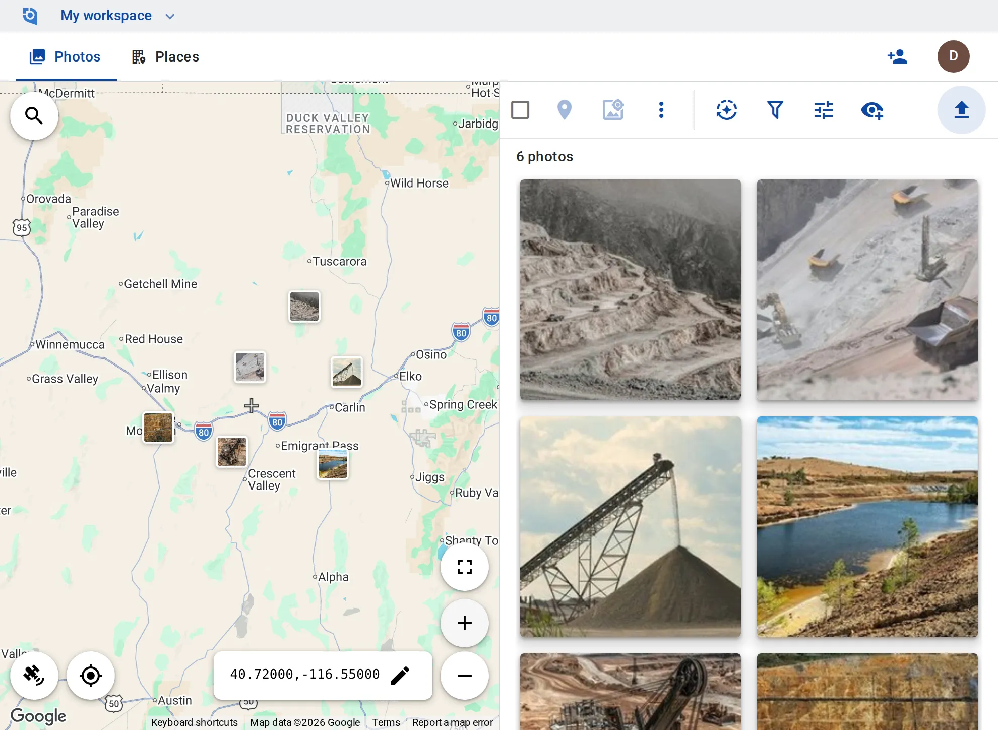
Mine site photos, on the map of the site
Road and berm checks, pit walls, equipment and reclamation: photograph where coverage is thin, upload when you are back in range, and every photo lands where it was taken.
Why mine site photos matter
Inspectors ask to see it
When a regulator or an auditor asks what a berm or a highwall looked like on a given day, the answer is a dated photo at that spot — if you can find it.
Big sites, thin coverage
Pits, dumps and roads spread over miles, often out of coverage, and photos pile up on phones until someone sorts them.
Reclamation takes years
Showing how a disturbed area recovered means photos of the same spot years apart, often taken by people who have since moved on.
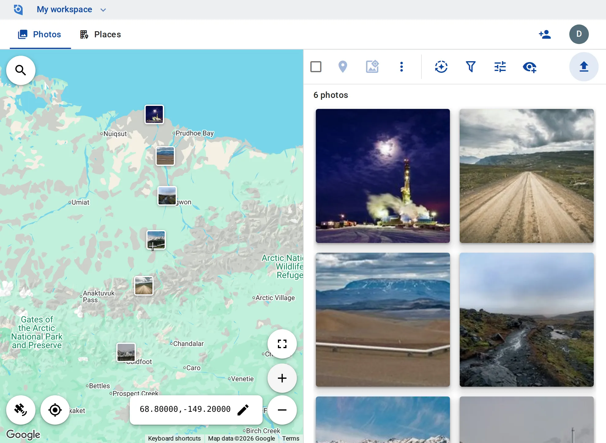
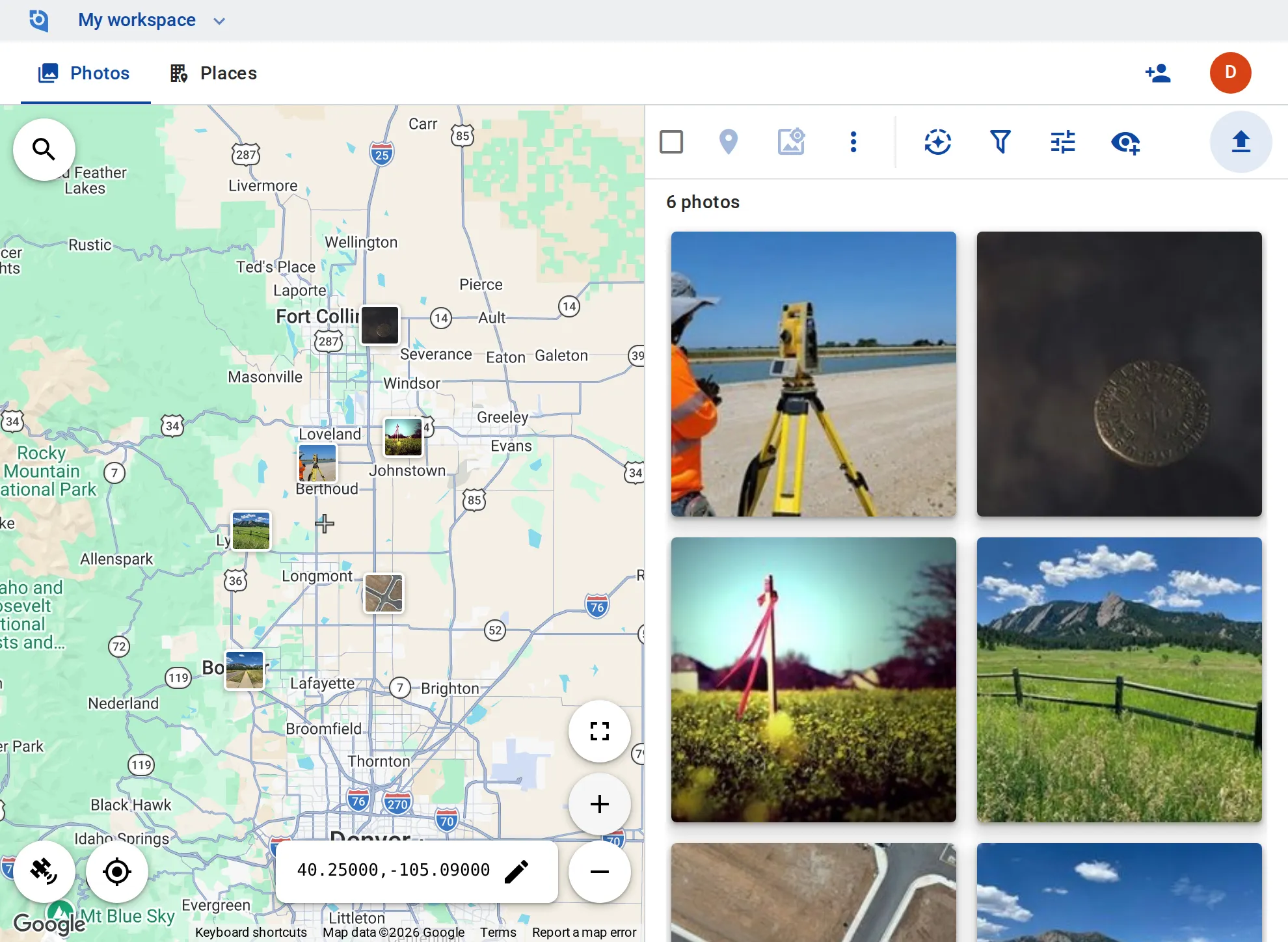
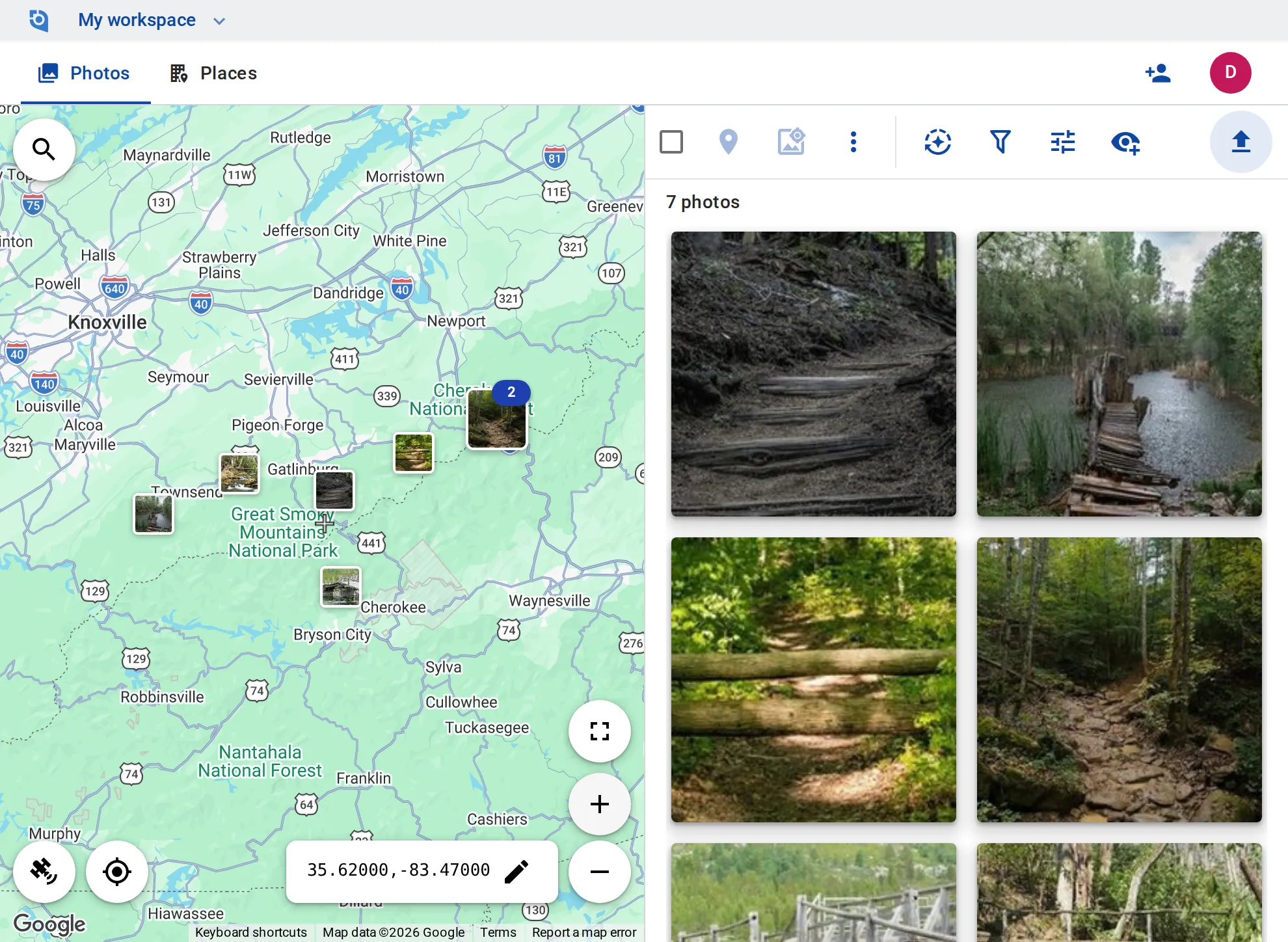
Related use cases
Put your sites on the map
Contributor and editor roles, original files kept and unlimited EXIF writing come with the Business plan: $100 per user a year, from 3 users, with a 14-day free trial.